Creating codes to identify
archaeological sites in Africa
Nowadays, while it is customary not to publish the geographical coordinates of archaeological sites to prevent their being plundered, it also prevents such data from being mapped. As a result, research in the geographical distribution of cultural or stylistic characteristics is penalised, that which aims at delineating cultural areas and studying their relationships in time and space [1].
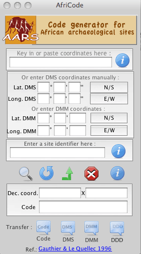
The simplest would then be to use a system that was perfected ten years ago already [2], although used very little. For ease of use, I have developed a small software to generate site identifiers automatically from their coordinates. This free software can be downloaded (zip file) by clicking on the opposite picture (you will get a zipped file with the Mac, Linux and PC versions).
This software enables also users to find coordinates from identifiers, but only to within about one minute (i.e. almost two kilometres). This is precise enough to feed a GIS but not precise enough to find sites if one does not know their location on the ground.
Furthermore, this software enables users to add personal codes matching site numbers in the user’s own inventory, thereby enable users to work out coordinates to about a second or closer.
As such, identifiers enable users to rename photos, e.g. h25i14-N24_20070321-12, which is read as follows: N24 is the user’s site number which is found at 14°25’N/16°14’W (as found in “h25i14-N24”), with the photo being the 12th taken on that site on the 21st of March 2007 (as found in “070321-12” / year + month + day + number). Users could in fact create their own systems.
[1] For a Southern African example of such a study, see Benjamin Smith & Sven Ouzman (2004). “Taking Stock: Identifying Khoekhoen Herder Rock Art in Southern Africa” Current Anthropology 45: 499-526. For a Saharan example, see Yves & Christine Gauthier (2007). “Monuments funéraires sahariens et aires culturelles” Les Cahiers de l’AARS 11:65-78.
[2] Full description in A consistent nomenclature for the rock art sites of the Sahara and Africa. Survey 9-12 (1996): 111-117 (643 Ko).